Independent and impartial consulting, storytelling and training in geospatial science and technology.
Consultancy
and technical
services
Expertise in the use of LiDAR, remote sensing and emerging geospatial technology.
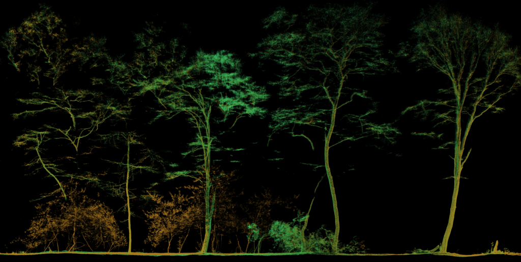
The word ‘pioneer’ is overused but I can comfortably claim to be one of the first in the world to have used mobile LiDAR in forest mapping.
Several years on and I am still paid to help clients map, measure and model various environments with handheld and mobile LiDAR.
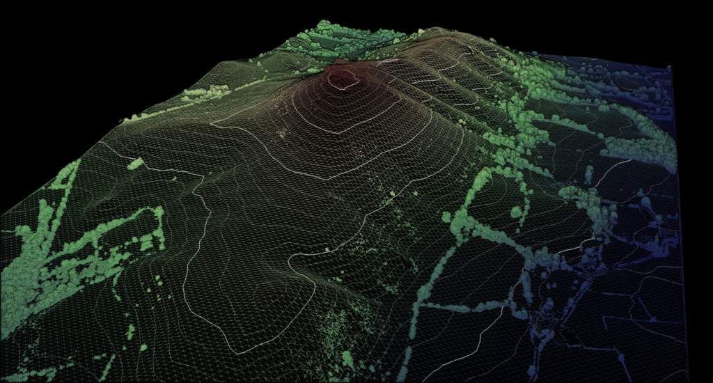
As a laser scanning expert I have worked extensively with LiDAR systems in the UK and overseas. I also specialise in remote sensing and GIS.
Consultancy
I provide consulting services to businesses and research institutions with a focus on LiDAR, remote sensing and GIS as methods to quantify and understand dynamism.
My consulting includes research and development (R&D) expertise. I often work with clients to generate and develop ideas which build new or improve existing services.
Clients value my subject matter expertise, my contacts book, and my willingness to roll up my sleeves and help get the best possible data in even the most arduous conditions.
My consultancy services typically begin with desk based research and development. I am often also deployed to site.
Technical services
I also offer technical services aligned with the geospatial sector. These include:
- Project leadership
- Project management support
- On site terrestrial laser scanning
- On site GNSS ground control
- Survey planning and strategy

My clients include:
- An innovative SME with a fleet of UAS systems and mobile LiDAR who hired me for technical leadership, data troubleshooting and GNSS positioning.
- An established UK survey company who required specialist expertise in mobile LiDAR mapping to rapidly map a complex, multi-level structure during operational hours.
- A major land use consultancy in need of specialist expertise in the use of LiDAR to characterise aboveground carbon in managed woodlands.
Scientific
and technical storytelling
Communicating scientific and technological themes to a variety of audiences.
I am an experienced communicator, both in an academic and industrial setting. I have written and presented scientific research, authored numerous technical reports and led industry-wide seminars to subject matter experts.
Typical clients include:
- Research groups in academia looking for an experienced scientist with a flair for communication.
- Publishers of scientific and technical writing looking for effective infographics, diagrams and figures to add value and visual appeal.
- Businesses of all sizes, Government departments, research institutions and NGOs who could capitalise from concise but gripping storytelling.
Why me?
Throughout my career I have earned a reputation as an excellent communicator.
I write, visualise and design for scientific research, technological development and to communicate complexity to non-experts.
My deliverables are carefully crafted to deliver concise, precise communication to your target audience, specialist or non-specialist alike.
#SciComm
I am Social Media Editor for the International Journal of Remote Sensing. As such I articulate the key research findings of hundreds of peer-reviewed research articles to a variety of audiences each year.

Education, training and knowledge transfer
Specialist education and training
in GIS, geomatics and
geography.
Having spent eight years in higher education and now an Honorary Fellow at the University of Leicester, I maintain close ties with the education sector.
This means I am actively involved with the latest innovations in geomatics, GIS and geography.
I have taught remote sensing and GIS to PhD researchers and Masters and Undergraduate students. This includes providing lectures, seminars and practical workshops in research labs.
In addition I have also led field trips to provide hands-on training in the use of LiDAR and survey instruments: in cities and in the field.
I love developing course materials and demonstrating cutting edge science and technology. Why not get in touch so I can share my passion and experience with you?

Training for education providers
- Formal training in remote sensing and GIS to map environmental change, tailored to higher education establishments (BSc and MSc level).
- Lesson planning, course materials and field workshops on mapping and GIS: for geography students at GCSE level or in further education.
- Tutoring and mentorship in GIS, geography and geospatial science.
Training for researchers
Bespoke training for anyone looking to leverage my research experience to help them conduct their own work.
For example, on site training in field data capture (laser scanning, photogrammetry, GNSS positioning, and so on).
Knowledge transfer
- As an interface between researchers and industry, I am adept at building connections
- Hire me and I can help project manage collaborations between, for example, OEMs, research groups and SMEs.
