Consulting and technical support for geospatial mapping, survey and
remote sensing projects.

As a consultancy, my clients commission me to provide specialist advice and tailored solutions to their spatial projects and problems.
I currently work with various geospatially-focussed organisations in both the public and private sectors. My consulting work and the technical support I provide both encompass remote sensing and geospatial data acquisition technology.
Ongoing and recent projects include:
- The provision of expert, on-site support for a large UAV-LiDAR habitat mapping survey of a National Park in Scotland
- Providing technical (UAV set-up), positioning (GNSS) and logistical support for a comprehensive field campaign using UAVs to measure atmospheric parameters
- Mapping a complex indoor environment using mobile LiDAR
- Mapping, measuring and monitoring environmental dynamism along a sensitive coastline using LiDAR, photogrammetry and GNSS ground control
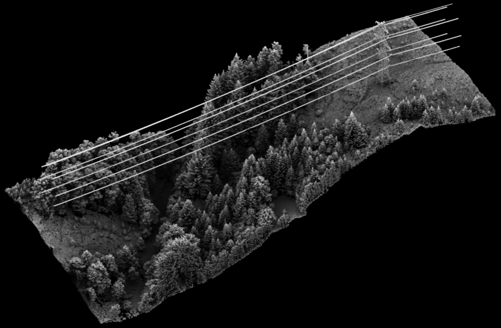
- Examining critical infrastructure (electrical transmission lines) with high density airborne LiDAR for tree encroachment risk
- Research and development specialised in extraction of forest metrics from LiDAR data with a view to estimating aboveground carbon.
How I work:
I typically work with clients on a project by project basis, with work schedules and rates agreed upfront. My work usually falls into one of the following categories:
- Consulting
- Technical support – in the field (mobilisation, operations, demobilisation)
- Technical support – remote (data processing, analysis, delivery)

